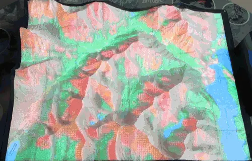
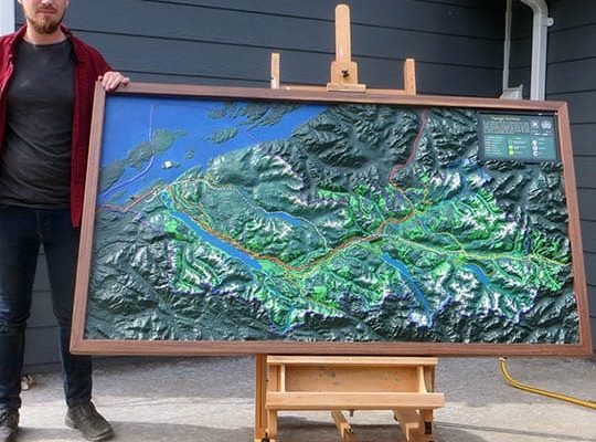
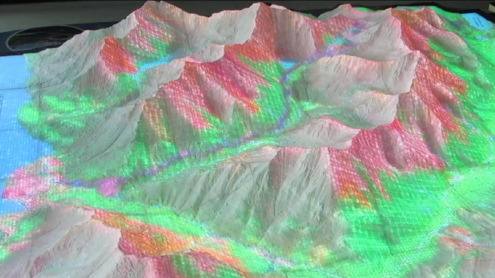
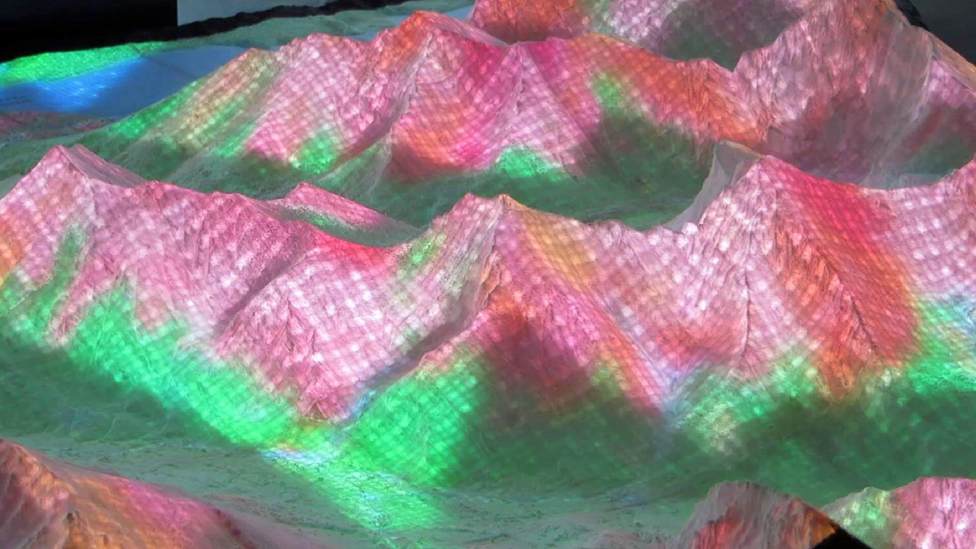
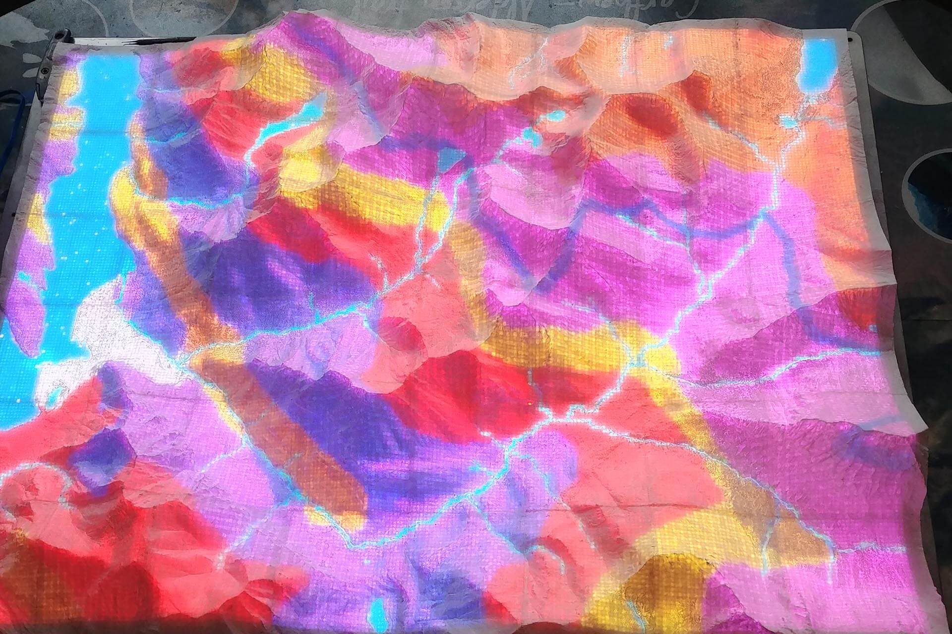
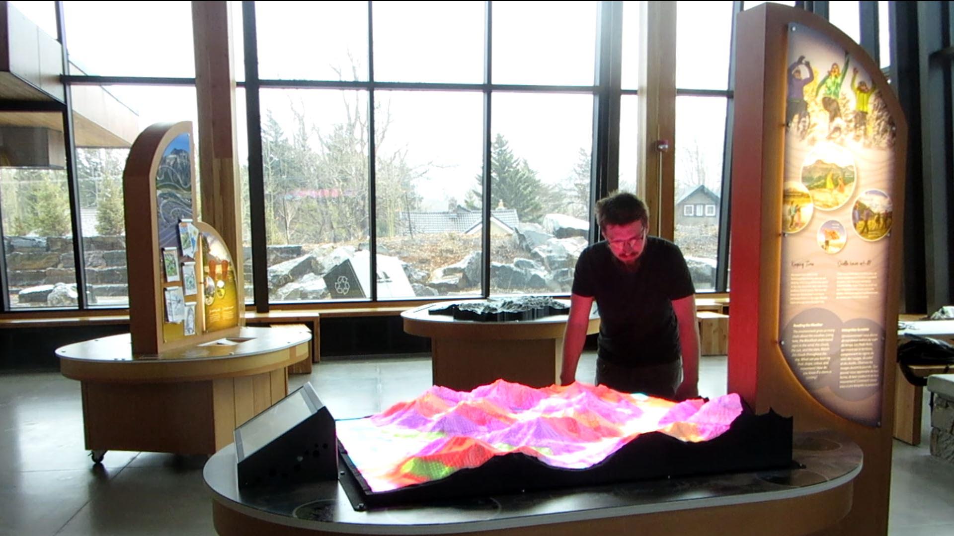
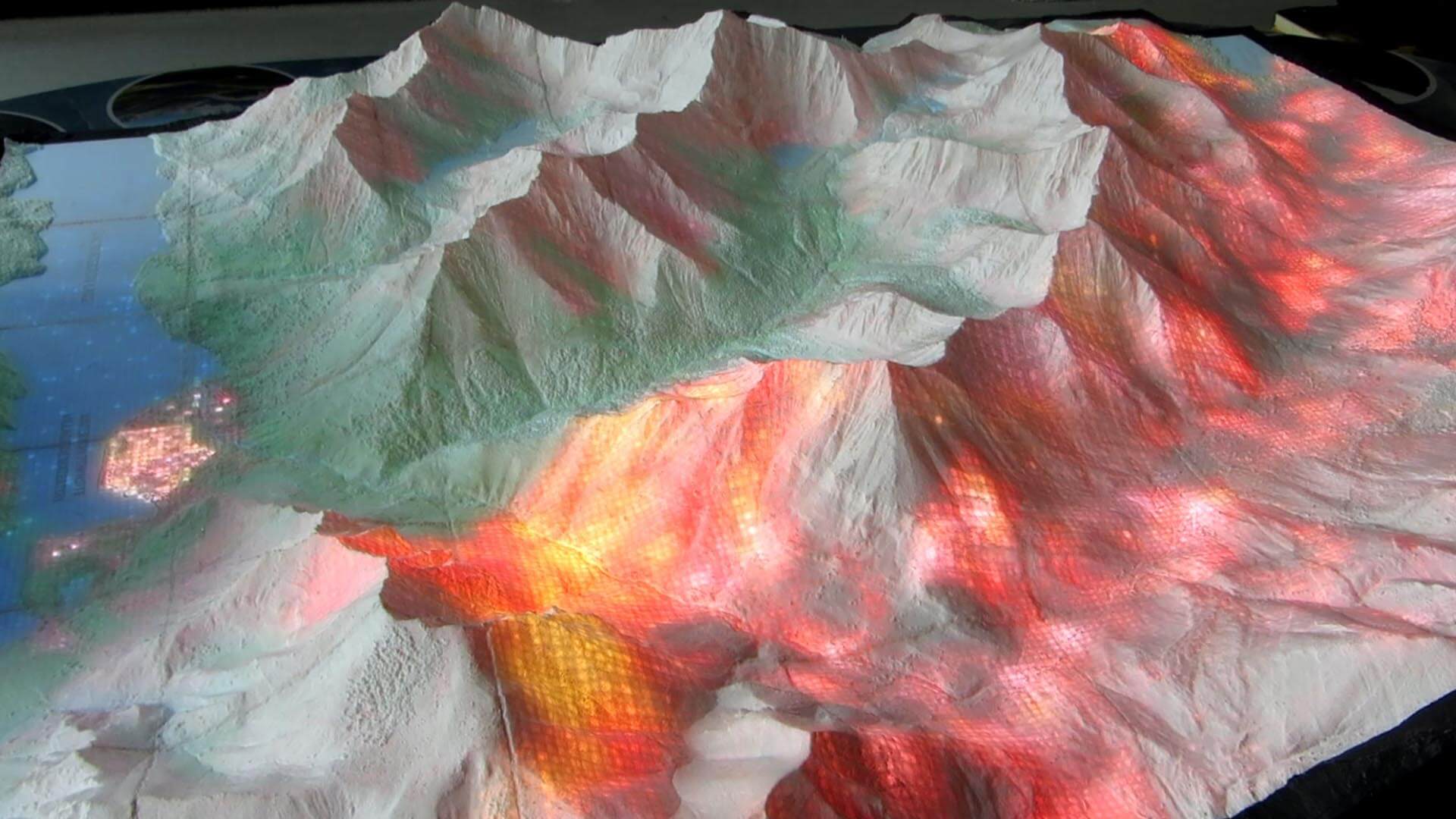
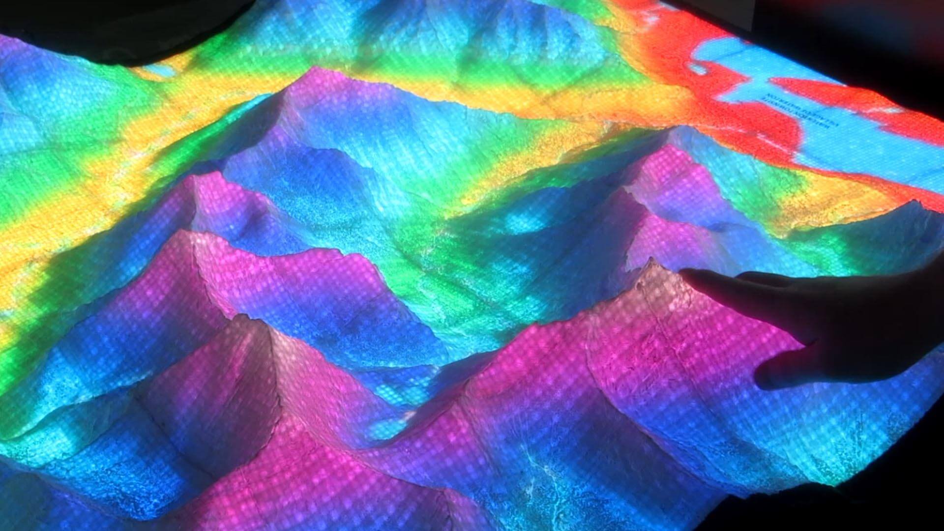
The topographic display is entirely new type of visualization system, invented and developed by myself and Metrographics Art & Design. This map provides an animated visual representation of the dynamic landscape through internal illumination. It is controlled through a touchscreen user interface and provides information about several types of environmental conditions. It is on display at the Waterton Lakes visitor centre in Alberta, Canada. It features seven visualizations, allowing visitors to see elevation, geological strata, the movement of light and shadow over the course of a day, a wildfire that swept through the park, simulated thunderstorms, and one day from each season of the year.